


Starts: 11 September, 2023
Ends: 15 September, 2023
Address:
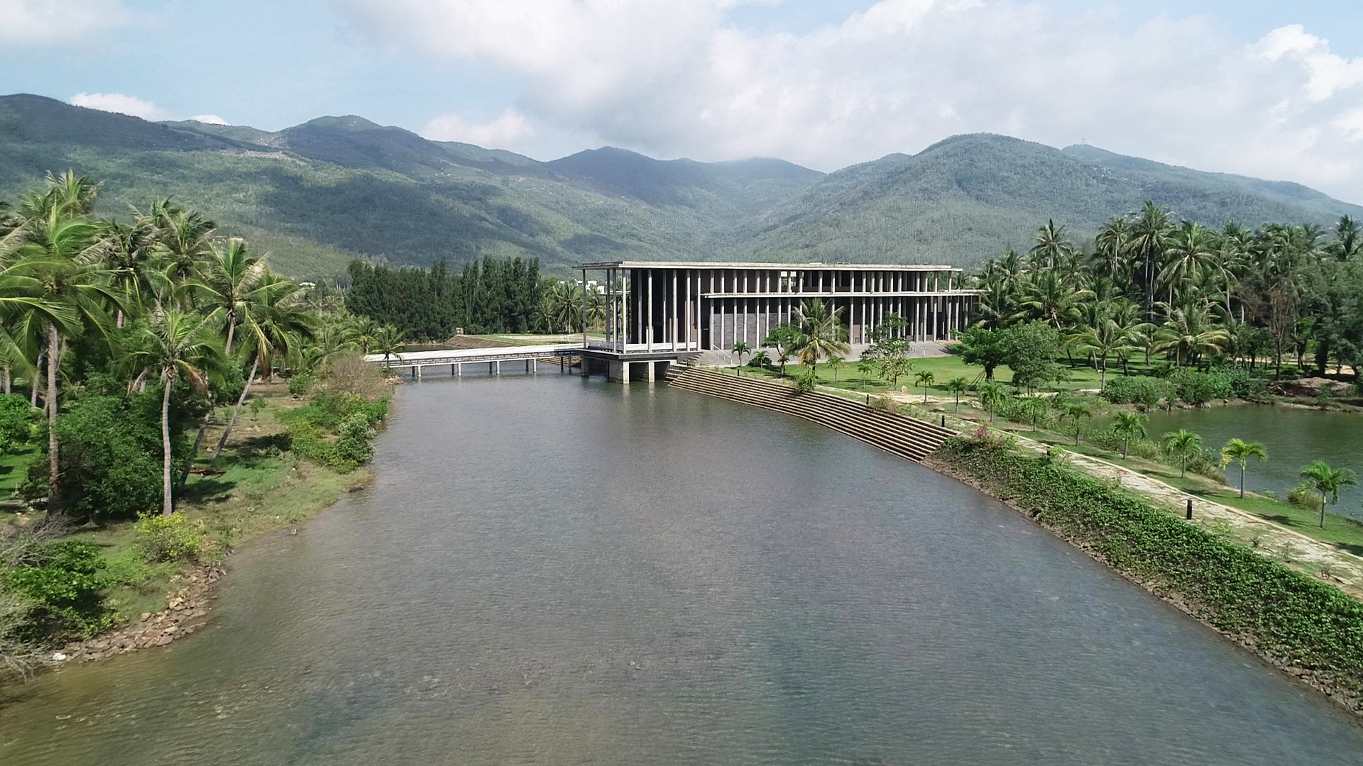
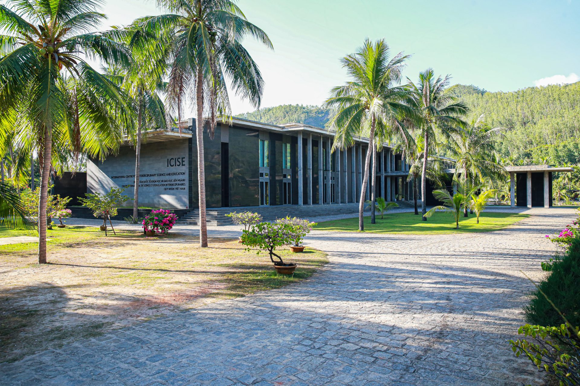
07 Science Avenue, Ghenh Rang, Quy Nhon, Binh Dinh, Vietnam
Summary:
Remote sensing using Earth observation satellites has become in recent decades an important technology for applications and research programs in Vietnam. A variety of free and accessible satellite data are available for land, ocean, and atmospheric observations over Vietnam and neighboring regions.
Following the conclusion of a workshop organized by the “Space and Aeronautics” (S&A) department of USTH (University of Science and Technology of Hanoi) in 2017, “Rencontres du Vietnam” and USTH decided to organize an annual summer school dedicated to Earth observation by satellites.
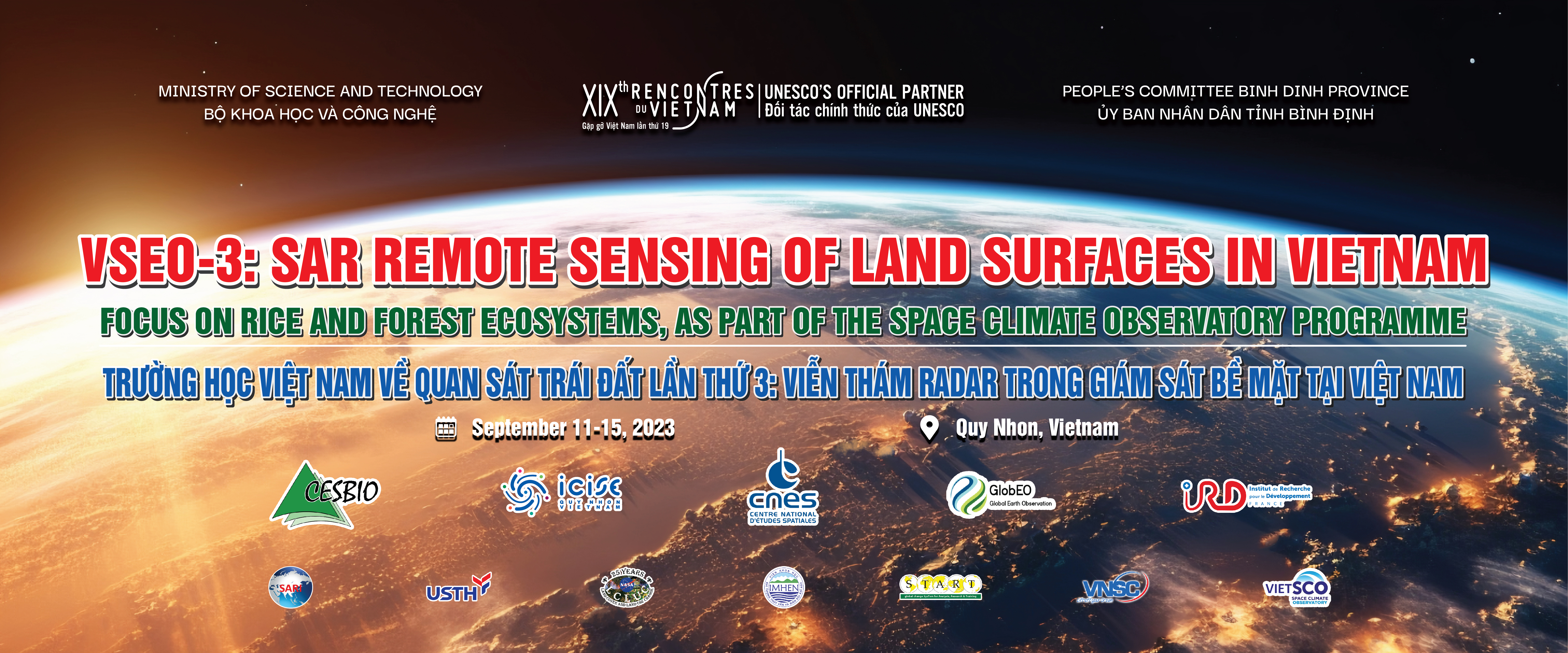
In this perspective, the Vietnam School of Earth Observation (VSEO) is held each year at the ICISE center in Quy Nhon as part of the “Rencontres du Vietnam”, with the contribution of French institutions (including CNES, CNRS, IRD, and the Universities) and the University of Science and Technology of Hanoi (USTH).
Vietnam, like many countries in South-East Asia, is among the countries most affected by climate change due to high population concentration and heavy dependence on agriculture, natural resources and forestry. Over the next few decades, changes in land use/land cover, agriculture and forestry are expected to be significant to meet the increasing demands of a growing population, in the context of threats from climate change. Observing systems are needed to provide information about the earth’s surface, at spatial scales from local to national, for crop and forest management, for early warning, for GHG emissions estimates and for the future projection of climate and human impacts. Among the impacted ecosystems, the School will focus on rice agriculture and forests.
General introductory lectures will be given on the current and projected climate in Vietnam and in South East Asia, and on the French Space Climate Observatory program which aims to monitor ecosystems under the effects of climate change.
For rice monitoring, the objective is to observe the changes in rice growing area linked to climate change, and also to human activities (drought, flooding, saline intrusion, submersion) in particular in the Mekong Delta. For forest monitoring, the objective is to monitor the fast changes of forest cover (by timber exploitation and, deforestation), and changes in forest biomass, information essential to assess the role of the forests as carbon sinks.
With an increasing number of Earth observation satellites, observing land surfaces with a diversity of remote sensing data has become effective. However, for Vietnam and tropical countries, the use of optical data is limited by frequent cloud cover. Instead, SAR (Synthetic Aperture Radar) systems with their all-weather capability can provide the systematic observations needed for land monitoring.
Since the launch of the European Sentinel-1 satellites in 2014, SAR data has been available and free over Vietnam, every 12 (or 6 days), and at a spatial resolution of 10 -20 m. Compared to optical data, these SAR data are not yet widely used. The reasons are often based on difficulties in processing, analyzing and interpreting the data. The summer school will provide knowledge, methods and open source software to participants for initiation/ advancement on the use of available and free SAR data in their thematic studies.
Lectures will be given on the introduction to SAR remote sensing, on the physical content of SAR data and the statistical properties of SAR images. Theoretical courses and practical work will be provided, ranging from data access, image pre-processing, to analysis and application of algorithms for thematic results. For rice, the objective is to map the rice fields, that of its state of growth, and the number of crops per year. Seasonal and inter-annual variations can then be derived for studies of climatic and anthropogenic drivers. For the forest, the objective is to monitor the forest cover losses (deforestation, forest degradation) and to estimate forest biomass and their change.
The lectures will be delivered in English by experts in the field. The school is aimed at researchers and data users (master’s or doctoral level) interested in the use of SAR data in their application and research activities. Applications are open for participants from Vietnam and a limited number of participants from South East Asia . Participants will be able to present their own research (short oral and poster). There will be opportunities to establish research collaborations between participants and speakers, and to share ideas and discussions on new research topics.
For more information:
https://www.icisequynhon.com/conferences/2023/VSEO3/index.html

